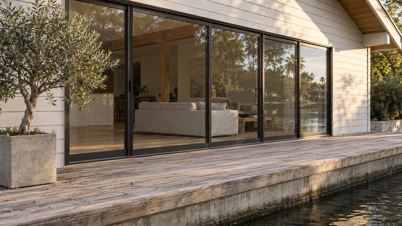
By the week of November 16, the waterline on Foster City's lagoon-side bulkheads will drop. Docks will sit lower against their pilings, and the band of wall between the water and the top of the bulkhead will get wider. Tides and dry weather don't cause this. Public Works sets the level, and the City has already announced the date.
In a release posted October 7, 2026, Public Works said it will lower the lagoon from summer to winter levels during the week of November 16, 2026, "or possibly earlier depending on the rain forecast." This year the release adds one more thing. Because forecasters expect El Niño conditions for the 2026–2027 winter, "the lagoon may be lowered more than typical to provide additional stormwater capacity." The San Mateo Daily Journal carried the same news.
The November change is easier to understand once you see that the lagoon was built to do two jobs, and the water level shows which one it's doing.
A Recreation Waterway in Summer, Storage in Winter
A technical memo prepared for the City by the consulting firm EOA, Inc. in September 2021 gives the lagoon's basic facts. It was completed in 1971 and "is designed for recreational use and to serve as a drainage detention basin." Water from the Bay, brought in through Belmont Slough, mixes with stormwater collected from most of the city: 2,313 acres of curb inlets, catch basins, and storm drains.
That second job explains the calendar. The City's 2018 announcement of the spring raise put it plainly: the lagoon is lowered in winter "to prepare to accept additional storm water associated with frequent winter storms," and raised in summer "to accommodate recreational uses of the lagoon waterway." The same water does a different job depending on the month, and the level tells you which job it's on.
The Numbers Behind the Waterline
The City's Lagoon Management Plan sets standard water levels for winter and summer. The EOA memo lists the targets on the City's elevation scale:
| Period | Dates in the 2021 memo | Target elevation |
|---|---|---|
| Summer operation | March 15 to November 15 | About 99.0 ft |
| Winter operation | November 15 to March 15 | 97.75 to 98.25 ft |
| Major storm predicted | Any time | 97.0 ft |
Those figures are easier to picture with one more number from the City. The 2018 release says elevation 100 "is the design height of most lagoon bulkheads." So in summer, the target puts the water about a foot below the top of a typical bulkhead. The winter range puts it about 1.75 to 2.25 feet below. When a major storm is forecast, the 97.0-foot level is three feet below that design line.
Going by the memo's targets, the routine November step from about 99.0 feet down to the winter range is a drop of roughly 9 to 15 inches. The memo doesn't name the vertical datum behind its figures, so treat these as elevations on the City's own scale, not on a survey benchmark.
City sources don't all describe the seasonal change the same way. The 2018 release said the spring raise that year was "approximately 6-8 inches." It also said the level is typically kept "between 1 to 2 feet from the level of elevation 100." That is a smaller change than the 2021 targets suggest. The two documents are three years apart, and they don't line up exactly. The City's 2026 release says only that this winter's level may go lower than typical. It doesn't give a target number.
Where the Water Goes In and Out
Water levels on the lagoon go up and down because gates and pumps at either end of the system are opened, closed, or run. The EOA memo describes Bay water entering "via tidal inflows from Belmont Slough, controlled by a system of motorized slide gates located at the southwest end of the channel." Water leaves "by gravity outflow and pumping to San Francisco Bay."
A 2017 City construction notice adds street-level detail. It put the intake work at Angelo Slough near Sea Cloud Park, where the intake gates were being replaced. It also described water being pumped out at the Lagoon Pump Station at the Corporation Yard on East Third Avenue. So the lagoon takes water in at its southern end, near Sea Cloud Park, and sends it out at the Bay end, off East Third Avenue.
The memo gives a sense of the volume involved. The lagoon holds about 424 million gallons. Its main channel runs about 4.5 miles and is 200 to 1,000 feet wide, with an average maximum depth of six feet. In water that shallow, a drop of a foot or more is a large share of the depth. The research behind this post did not find how many days a seasonal drawdown takes.
Why the Level Moves Between Seasons, Too
The seasonal targets are not the only reason the level changes. The memo says lagoon water is exchanged with Bay water "on a weekly or monthly basis." How often depends on competing water-quality needs. More frequent exchange raises dissolved oxygen and clears stagnant corners, but nitrogen-rich water from Belmont Slough can feed algae.
The City's main tool for algae is "commercial dye, which restricts penetration of light needed for algae growth and results in a pleasing color." The memo says aquatic herbicides have been used less than once a year. The lagoon's color is part of how it's managed.
The 2018 release also described a weekly pattern. The water was "generally higher on weekends and holidays and lower during midweek," a schedule meant "to promote maximum water exchange in the lagoon." That is how the City described its practice eight years ago. Current operations may differ, but it explains why the waterline on a bulkhead might move a few inches between a Tuesday and a Saturday even in the middle of a season.
The same release makes one exception to the calendar: "if a major storm is predicted, the lagoon level may be lowered in preparation for the storm at any time of year." The November date is the default. A forecast can move it earlier.
What Makes This Winter Different
The City's mention of El Niño matches the federal forecast. In its ENSO discussion issued October 8, 2026, the NOAA Climate Prediction Center listed its alert status as "El Niño Advisory." It said a "strong-to-very strong El Niño" is likely through January–March 2027, "remaining greater than an 83% chance." NOAA's October 2026 probability table gives El Niño a 100% chance for December through February.
The City links that forecast directly to the lagoon. The lagoon "may be lowered more than typical," and the City's release goes on:
"We encourage residents with boats or recreational water vessels to consider the effect of a lowered lagoon and secure vessels."
The release doesn't give specific instructions for docks, gangways, or boat clearance. For questions about lagoon levels, it lists the Public Works Maintenance Superintendent for Streets and Lagoon at (650) 286-3551. The release also notes that the City's sandbag station is open in the City Hall parking lot at 610 Foster City Boulevard. Sand, bags, and shovels are provided, residents and merchants fill their own bags, the limit is ten bags, and the station stays open through the winter storm season. Preparedness information is posted at fostercity.org/winterstorm and on the San Mateo County winter weather page. For non-emergency storm requests, such as a fallen tree in the public right of way, the number is (650) 286-8140.
Getting on the Water Before and After
If you paddle without owning a boat, the City lists California Windsurfing as the concession at Leo J. Ryan Park. It rents pedal boats, kayaks, and stand-up boards from the Boat Shed behind The VIBE. The operator's site posts hours of 12:30 to 6:30 p.m. Tuesday through Friday and 11:30 a.m. to 6:30 p.m. on weekends, weather permitting, with last rentals at 6 p.m. Those hours aren't dated, and the page asks customers to call for current hours and conditions. Whether rentals change after the November drawdown is something to ask the operator directly.
The City says the level goes back up around mid-March, to the summer operating level that suits recreation on the lagoon. Between now and then, the waterline on a lagoon-side bulkhead works as a rough gauge. About a foot below the top means summer. Around two feet below means winter. Lower than that means Public Works has made room for a storm.
If you own on the lagoon, or are thinking about it, the seasonal waterline is worth understanding before you plan dock work, pre-sale photos, or a showing in the winter months. Julie Flouty is glad to talk through how the lagoon's calendar fits your timing. Let's Connect.