"How many trailers are you going to play before the movie actually starts?" Foster City resident Yiming Luo asked the City Council on Oct. 5. He was urging members to move faster on the bicycle and pedestrian studies in front of them. That night, the San Mateo Daily Journal reported, the Council voted unanimously to support the plan. The state's environmental record lists the Foster City Bicycle & Pedestrian Master Plan as adopted at that Oct. 5 public hearing.
The first project to reach the pavement may not be one of the corridors people argued about. Most of the debate covered Beach Park Boulevard, Edgewater Boulevard and Foster City Boulevard, where the plan proposes taking away travel lanes or parking. The project the city's own staff report expects to move faster is a set of neighborhood streets, Gull Avenue and Marlin Avenue linked by Grebe Street. It scored lower with residents than the big roads did. It also has the smallest study bill of the seven and takes away no lanes or parking.
A Lower Score and a Shorter To-Do List
The Daily Journal summarized the staff report's reasoning. The Gull and Marlin project "did not score as high in priority, but requires a less intensive planning study," and that will "allow for improvements to be implemented sooner."
The plan's cost estimates show the gap. In the July 13, 2026 draft, every one of the seven corridors needs a planning study before engineering. That study is the step where community engagement, analysis and early design happen. The scope of each study depends on what the street design would take away from drivers.
| Corridor | Proposed change, per the draft plan | Draft planning study cost | What the study has to settle |
|---|---|---|---|
| Beach Park Blvd, Gull Ave to Foster City Blvd | Four lanes become three, with a center turn lane, a separated northbound bikeway and a buffered southbound bikeway | $250,000 | Traffic operations, engagement, 10% design |
| Beach Park Blvd, Shell Blvd to Foster City Blvd | Separated bikeways with low, traversable separators | $140,000 | Traffic operations, engagement, 10% design |
| Edgewater Blvd, E. Hillsdale Blvd to Boothbay Ave | Separated bikeways on both sides from E. Hillsdale to Beach Park | $240,000 | Parking occupancy, traffic operations, engagement, 10% design |
| Edgewater Blvd, city limits to E. Hillsdale Blvd | Separated bikeways and narrower lanes | $80,000 | Whether traffic volumes allow a smaller cross-section |
| Foster City Blvd, E. Hillsdale Blvd to Beach Park Blvd | Separated bikeways; four lanes become two between Bounty Dr and Beach Park | $330,000 | Traffic operations, parking, engagement, 10% design |
| Gull Ave and Marlin Ave, via Grebe St | Bicycle boulevard with speed cushions, markings and wayfinding | $90,000 | Engagement and 10% design |
The Gull and Marlin study covers two of the seven priority corridors and costs less than any single study on Beach Park, Foster City Boulevard or southern Edgewater. Its cost line lists only community engagement and 10% design. Every study above it includes some kind of operations or parking analysis.
This Year's Money Set Against the Study Bill
According to the Daily Journal, the Council set aside $325,000 for the project in fiscal year 2026-27 and another $1 million in fiscal year 2027-28. City staff are also applying for grants.
Adding up the six planning studies in the draft gives $1.13 million. That is about three and a half times this fiscal year's $325,000, and it covers only the studies, before any engineering or construction. The Gull and Marlin study, at $90,000, fits inside this year's figure with room to spare. Taken together, the Foster City Boulevard and the Gull-to-Foster City Boulevard Beach Park studies would cost more than this year's whole allocation.
The plan doesn't put a date on any project. It says implementation depends on "roadway maintenance schedules, capital improvement projects, redevelopment activity, and available funding programs," and it names a quick-build route that uses markings, signs, delineators or temporary materials before full reconstruction. Its next-steps page says, "Implementation will not happen all at once."
The plan names grant sources the city may be well positioned for, including the C/CAG Bicycle & Pedestrian Program, the C/CAG Local Transportation Services & System Management Program, and SMCTA Measure A's Local Streets & Transportation Program. Grants could change the order. Under the budget as reported, though, the smallest study is the easiest to start.
What Would Change on Gull, Grebe and Marlin
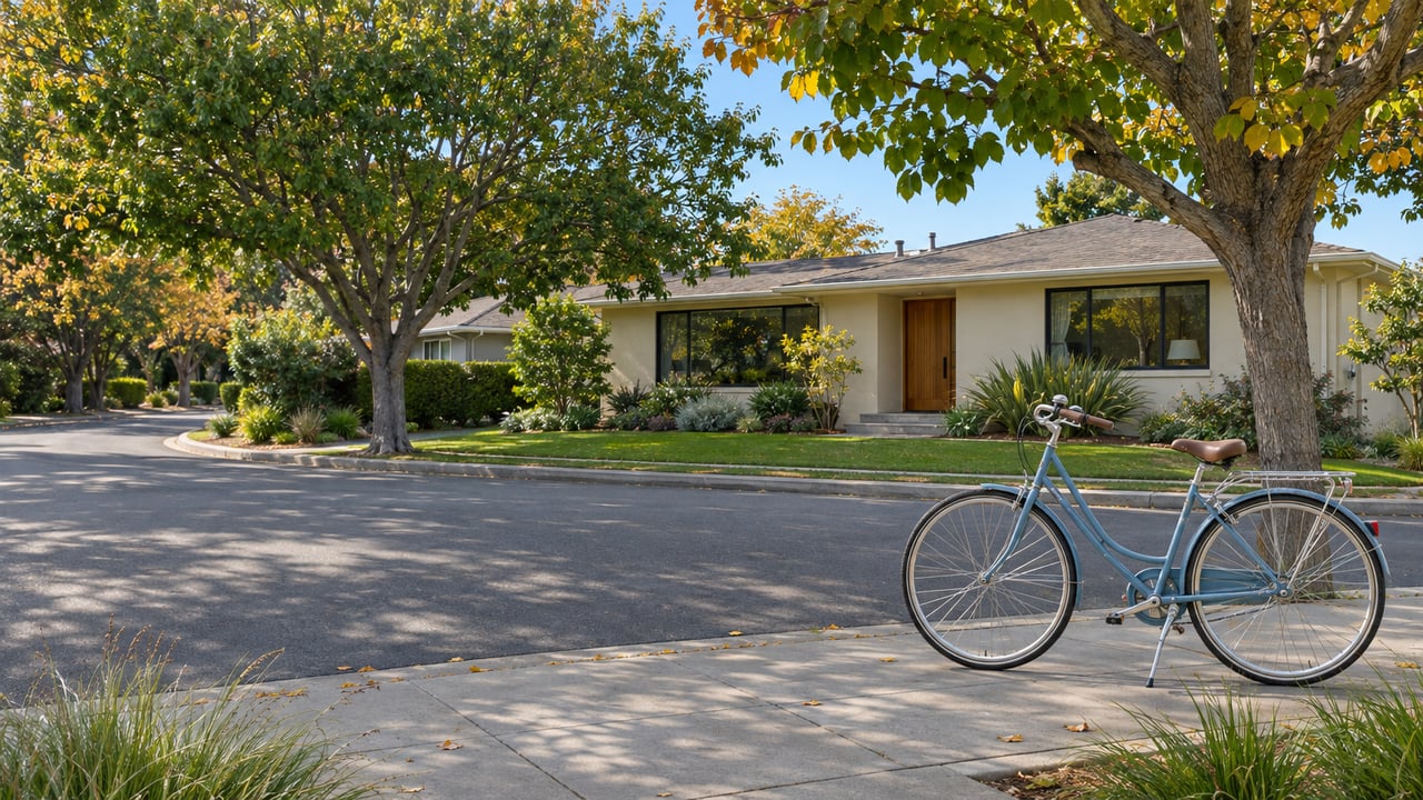
A bicycle boulevard is the least disruptive design in the plan. The plan defines bicycle boulevards as "low-speed, low-volume neighborhood streets" that give comfortable connections between destinations. The plan says Gull, Marlin and Grebe run through residential areas, serve several schools and connect to the Bay Trail. All three already have shared-lane bike markings, but nothing manages speed or volume, and several spots have no marked crosswalk.
The draft concept for the corridor includes:
- Speed cushions every 260 to 500 feet, with cutouts for transit and emergency vehicles
- Daylighting on the approach to every crossing, which opens sightlines at the corners
- Bike boulevard pavement markings and wayfinding signs
- Narrower travel lanes on Gull, where the 40-foot street keeps its 8-foot parking strip on each side and its two 12-foot travel lanes become 10 feet
Gull keeps the same curb-to-curb width, two travel lanes and both parking lanes. What changes is how fast a car can comfortably drive between cushions. The plan cites Caltrans guidance that bike boulevards suit streets averaging under 2,500 vehicles a day with a posted speed of 20 mph or less. It also calls for new speed data after construction to check whether speeds have dropped enough to support a lower posted limit.
Neighborhood input has already focused on specific crossings. A city summary of PTA feedback points to the midblock crossing on Gull near Audubon Elementary. The draft does carry later price tags for this corridor too: $340,000 for engineering design and $1.34 million for construction. A quick start on the study still doesn't pay for construction.
What the Busier Roads Are Waiting On
The arterials are in a different position because each design takes something from drivers, and the plan wants evidence before it does.
Beach Park Boulevard has two priority segments. The concept for Gull to Foster City Boulevard is a four-to-three-lane road diet with a center turn lane, a separated northbound bikeway and a buffered southbound bikeway. The plan describes this stretch as connecting to the Bay Trail. The segment from Shell to Foster City Boulevard would get a 7-foot bikeway and one 12-foot vehicle lane on each side of the median. The Daily Journal reports that both segments depend on traffic studies, and that the Gull-to-Foster City Boulevard study is meant to confirm there are no negative effects on vehicle volume along the corridor.
Edgewater Boulevard between East Hillsdale and Boothbay passes Edgewater Park. The concept calls for separated bikeways on both sides from East Hillsdale to Beach Park, plus conflict markings at intersections and driveways. It also needs a parking-occupancy study because some on-street spaces would go. North of East Hillsdale, the segment toward State Route 92 would get separated bikeways and narrower lanes, and traffic counts will decide whether the road can be made smaller.
Foster City Boulevard has the most expensive study in the set at $330,000. Between Bounty Drive and Beach Park, the concept is a four-to-two-lane road diet, and the study covers both traffic operations and parking.
At the Oct. 5 meeting, some speakers wanted to skip ahead. Bicycle advocate Mike Swire told the Council, according to the Daily Journal, "If we know there's a problem, let's fix it now instead of 15 years from now." Councilmember Stacy Jimenez said in the same report that the city should watch for "low-hanging fruit" while also taking "time to do the studies and do implementation well." Councilmember Phoebe Venkat called the vote "a great milestone for Foster City safety, health and sustainability."
The draft plan's own structure lines up with Jimenez's point. Gull and Marlin are the low-hanging fruit, and the arterials are where the studies come first.
Keeping Track From Here
If you live on or near any of these corridors, community engagement is written into every planning study. Each study is a point where residents can weigh in before a design is final. The plan says the city is looking for ways to share progress on its website and will keep asking for input as projects move forward. The most direct way to hear when a study opens is the city's Bicycle and Pedestrian Master Plan Community Contact Sign-Up form, which collects an email address for updates. The full draft, with cross-sections for each corridor, is posted as the Foster City Bicycle & Pedestrian Master Plan.
Street changes like these shape a block's daily routine: where guests park, how a school drop-off flows, how quickly a car can take a corner. If you'd like to talk through how the Gull and Marlin work or a Beach Park road diet could affect your street, Julie Flouty follows these projects closely and is glad to share what she's watching. Let's Connect.